

Guide · Wild and Trek
Volcano alert levels in Japan, and where to check them
Level 2 keeps you out of the crater area, Level 3 closes the mountain. Levels change without notice: read the JMA the day you go. Sakurajima and Hakone rules.
Japan rates each monitored volcano on a five-level scale from the Japan Meteorological Agency (JMA). Level 1 means stay aware, Level 2 keeps you out of the crater area, Level 3 closes the mountain to entry, Level 4 means prepare to evacuate and Level 5 means evacuate. Levels change without notice, so read the JMA pages on the day you go.
What do the five levels mean?
Each level carries a recommended action for authorities and residents. For a traveller, Level 2 rules out walks to the crater area and Level 3 rules out entering the mountain. The wording follows a reproduction of the JMA table, because the official English table page was not reachable.
| Level | Action |
|---|---|
| Level 1 | Remember the volcano is active |
| Level 2 | Do not approach the crater area |
| Level 3 | Do not approach the volcano, entry restricted |
| Level 4 | Prepare to evacuate, and the elderly and vulnerable evacuate |
| Level 5 | Evacuate |
Where do you check a volcano’s level?
Check the JMA volcanic warnings map, which has an English version, and the JMA volcano activity information page. The JMA also issues Eruption Notices and ash-fall forecasts for people entering volcanic areas, and publishes a monthly activity report; the September 2026 edition appeared on 8 October 2026. Its Volcanic Information for Mountaineers section is in Japanese only, so read it with a translation tool.
Find the volcano on the English map and read its level and the date on the item. If a local page disagrees with the JMA, go with the JMA: the Kagoshima City page for Sakurajima carried a stale level.
Before you go Open the JMA English map on the day, read the level and the date on the item, and treat any level printed elsewhere as out of date.
How fast do levels change?
Within weeks. A news report (secondary) says Aso moved from Level 1 to Level 2 on 21 June 2026 and to Level 3 on 14 August, with rising tremor and gas and a hazard zone of about 2 km. It was back at Level 2 by early October. A guide written in May still showed Level 1.
Closures, shelters and visitor-centre details for Asama, Kirishima, Unzen, Zao, Tokachidake and Usu were not on the official pages used. Ask the local tourist office or visitor centre.
How do you use the levels in a trip plan?
Check three times and keep a fallback.
- When you book, read the JMA map for your volcano and keep dates you can move.
- The day before, read the JMA pages again, including any Eruption Notice.
- At the trailhead or ropeway, read the operator’s notice. Operators can suspend service on their own thresholds, as Hakone does for gas.
- Plan a fallback day away from the crater area and the mountain.
What are the Sakurajima rules?
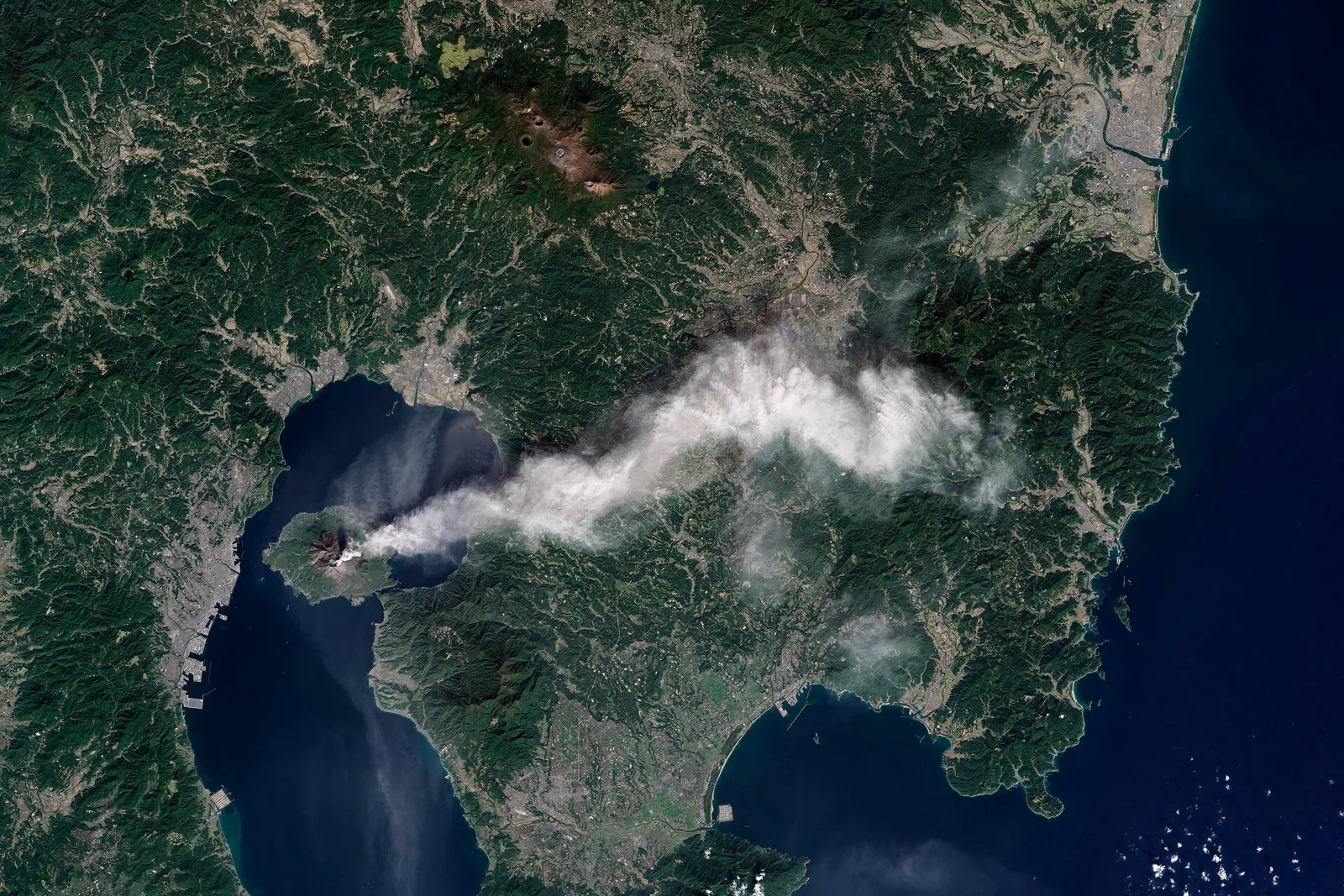
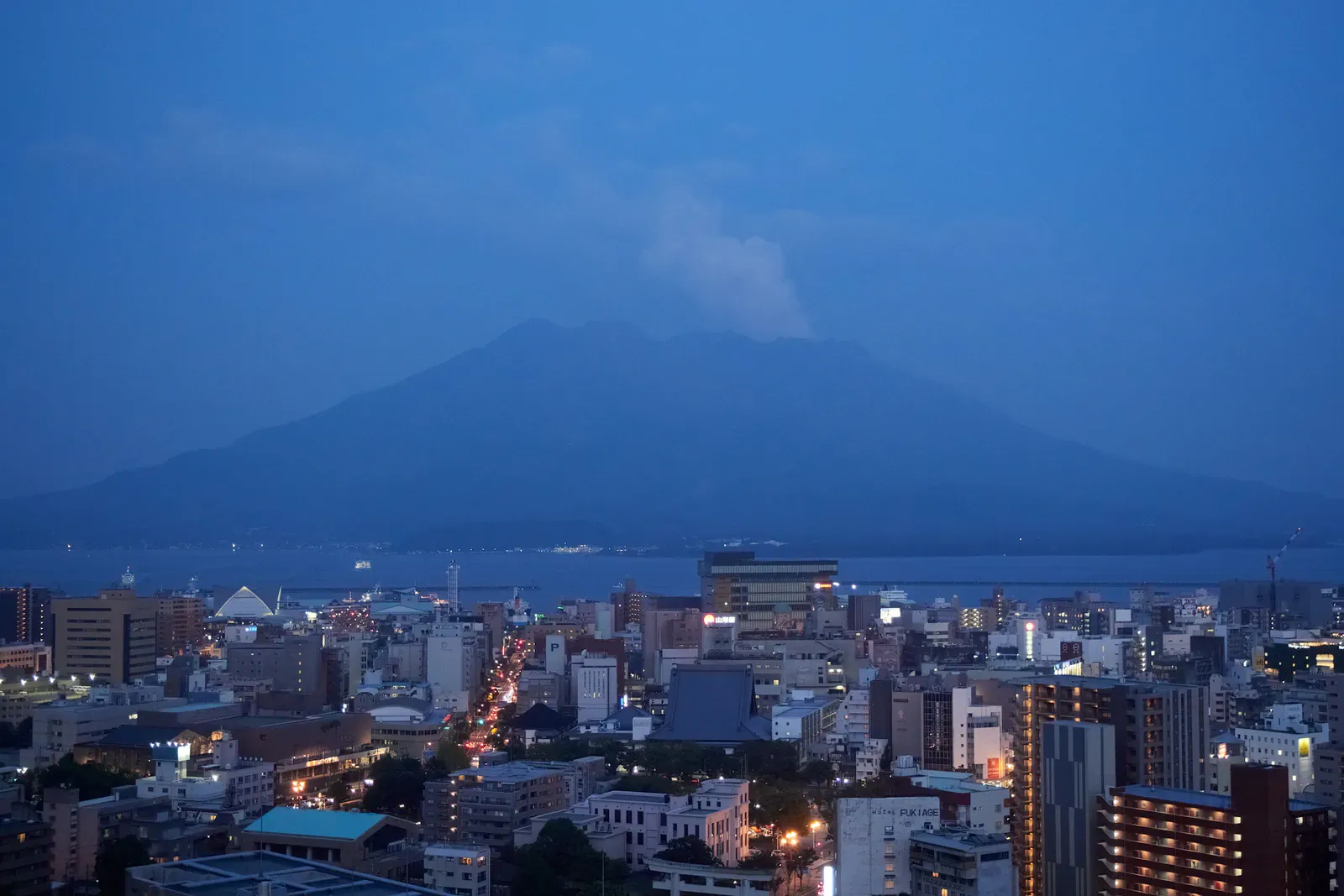
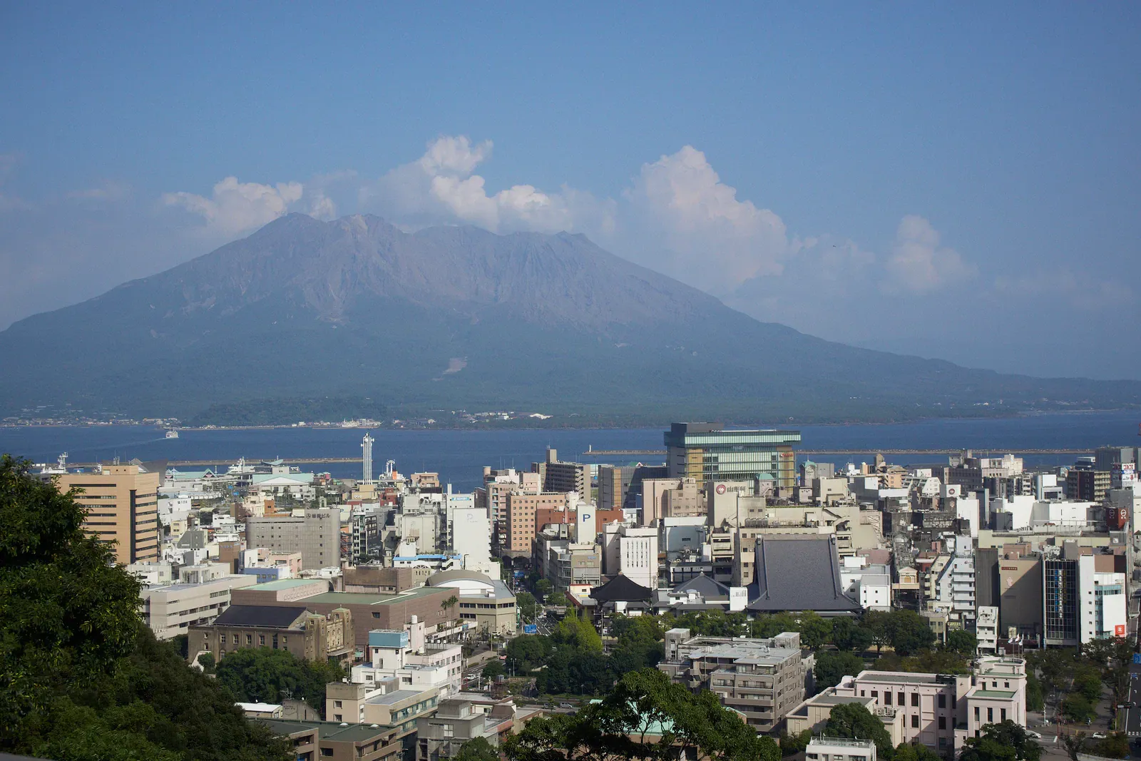
Entry within 2 km of the Minamidake and Showa craters is prohibited by law, per Kagoshima City. Tourist facilities and hiking courses on the island stay about 2 to 2.5 km from the craters, per the Sakurajima Visitor Center and Kagoshima tourism.
The Sakurajima Visitor Center is at 1722-29 Sakurajima-yokoyama-cho, Kagoshima, phone +81-99-293-2443. Its website carries live crater footage and eruption statistics. We did not find its opening hours.
Kagoshima City says the island has concrete boulder shelters, evacuation houses and ports, and the Sabo Center is an evacuation facility. Know where the nearest one is before you walk.
What are the Hakone ropeway rules?
The Hakone Ropeway measures sulphur dioxide (SO2) continuously and may suspend all lines. The operator sets three bands.
| SO2 in ppm | Status |
|---|---|
| Under 0.2 | Normal |
| From 0.2 | Caution |
| From 5.0 | Suspension |
The operator bars people with asthma, respiratory or heart disease, a pacemaker, pregnant women, infants and the elderly from boarding the Sounzan to Ubako section. It hands out wet towels, and the cars carry oxygen kits. Kanagawa Prefecture, on an older page, describes a warning zone around the assumed crater, set by the mayor, where entry restriction has legal force.
A secondary report of the operator’s notice lists scheduled suspensions: Owakudani to Sounzan from 7 to 24 December 2026, and Togendai to Ubako to Owakudani from 12 January to 26 February 2027, with replacement buses. The operator’s own page lists no dates, so check with the operator before you plan a winter day there.
Gas is a hazard elsewhere too. A secondary travel guide warns of hydrogen sulphide pockets around Ohachidaira in Daisetsuzan.
Which local rules sit on top of the levels?
Places add their own rules to the national scale. The table lists the ones sourced here.
| Place | Local rule |
|---|---|
| Sakurajima | No entry within 2 km of the Minamidake and Showa craters |
| Hakone | Ropeway suspends at 5.0 ppm SO2 or more |
| Hakone health | Asthma, heart disease and pacemaker users barred from the Sounzan to Ubako section |
| Fuji | Descend immediately if the level rises |
| Aso | No entry within about 1 km of Nakadake while Level 2 applies; a 2 km hazard zone was reported at Level 3 |
What do the levels mean on Fuji?
The official Fuji climbing site tells climbers to descend immediately if the level rises and to carry a helmet, mask and goggles. On the Yoshida trail, shelters stand at the 6th station for ascent and the 7th station for descent. Subashiri, Gotemba and Fujinomiya have no trail shelters, so climbers use the huts. Yamanashi has built two rockfall shelters on the descent trail, each for 135 people standing without luggage, and plans 13 by FY2031. Season dates, fees and gate rules are in Climbing Fuji: reservation, fee and season rules.
Safety Treat Level 2 as a crater-area ban and Level 3 as a ban on entering the mountain. Do not step into a restricted zone, and leave at once if a level rises while you are on a slope.
Where next?
Bears in Japan covers the other risk on mountain trails. The Kyushu travel guide covers the region around Sakurajima and Aso. The Wild and Trek guide covers volcanoes and hiking tracks, and the Wild and Trek hub lists every wildlife and trek page.
Quick answers
What do Japan's volcano alert levels mean?
The Japan Meteorological Agency uses five levels. Level 1: remember the volcano is active. Level 2: do not approach the crater area. Level 3: do not approach the volcano, entry restricted. Level 4: prepare to evacuate. Level 5: evacuate. This is summarised from a reproduction of the JMA table, so check the JMA before you go.
Where do I check a volcano's current level?
On the Japan Meteorological Agency's volcanic warnings map, which has an English version, and its volcano activity information page. Levels change without notice, so check on the day you travel.
How close can I get to Sakurajima's craters?
Entry within 2 km of the Minamidake and Showa craters is prohibited by law, per Kagoshima City. Visitor facilities and hiking courses stay about 2 to 2.5 km away, per the Sakurajima Visitor Center and Kagoshima tourism.
Can I ride the Hakone ropeway with asthma?
Not on the Sounzan to Ubako section. The operator bars people with asthma, respiratory or heart disease, a pacemaker, pregnant women, infants and the elderly from boarding it because of volcanic gas.